Blueberry Barrens
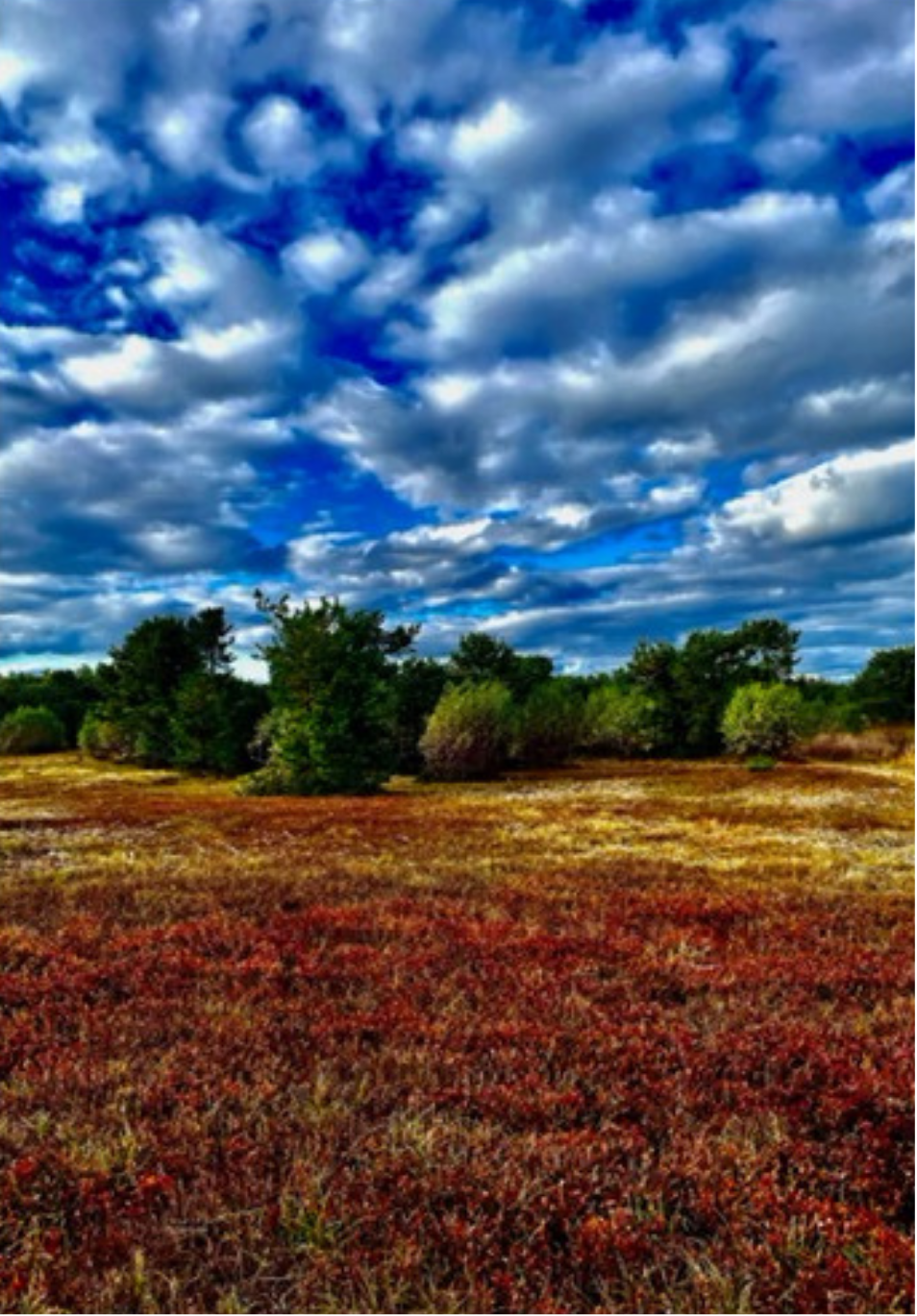
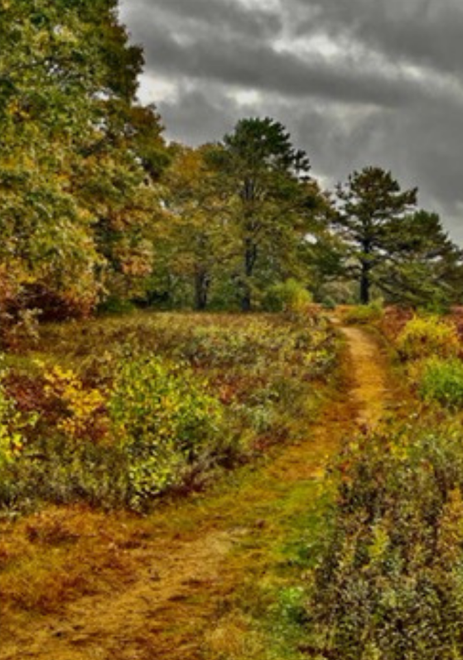
Extending from the area where Brunswick High School is today then east to Brunswick Landing (the former Brunswick Naval Air Station) were extensive low bush blueberry “barrens.” Additional barrens stretched from the New Meadows River and along today’s Old Bath Road, and others included the area known today as the Town Commons between Bowdoin College and the former Brunswick Naval Air Station.
These areas feature a wide expanse of sandy soils that were ideal for blueberries. Wabanaki cultivators regularly burned the barrens to reduce weeds and ensure healthy soil for growing. These barrens also provided habitat for a variety of birds, insects, and grasses that all depended on sunlight for survival. Today, the Maine Natural Areas Program considers barrens like this one to be "imperiled" in the state.
Just as Wabanaki have sustained blueberries for generations, so blueberries have sustained Wabanaki. The small berries can be eaten fresh or dried and mixed with pounded dry meat and fat to create a high energy travel food known as pemmican.
Traditionally, people would gather from many miles around during late July to harvest this important crop. White residents of Brunswick remarked on Wabanaki returning to the barrens well into the 1800s.
These connections continue. A portion of the nearby Brunswick-Topsham Land Trust is used for Wabanaki gardening, including blueberry harvesting in the summer. Wabanaki organizations like Niweskok and the Bomazeen Land Trust continue this work known as “rematriation,” reviving Wabanaki relations with their homelands.
This research was compiled as part of the Pejepscot Portage Walk, which took place in Brunswick on October 6, 2024. For more information about this walk, click here.
For more research related to this area, click on the tags below. To download a hi-res version of the posters below for educational use, please contact where@atlanticblackbox.com.
This walk was a collaboration between the Pejepscot Portage Mapping Project and Atlantic Black Box.