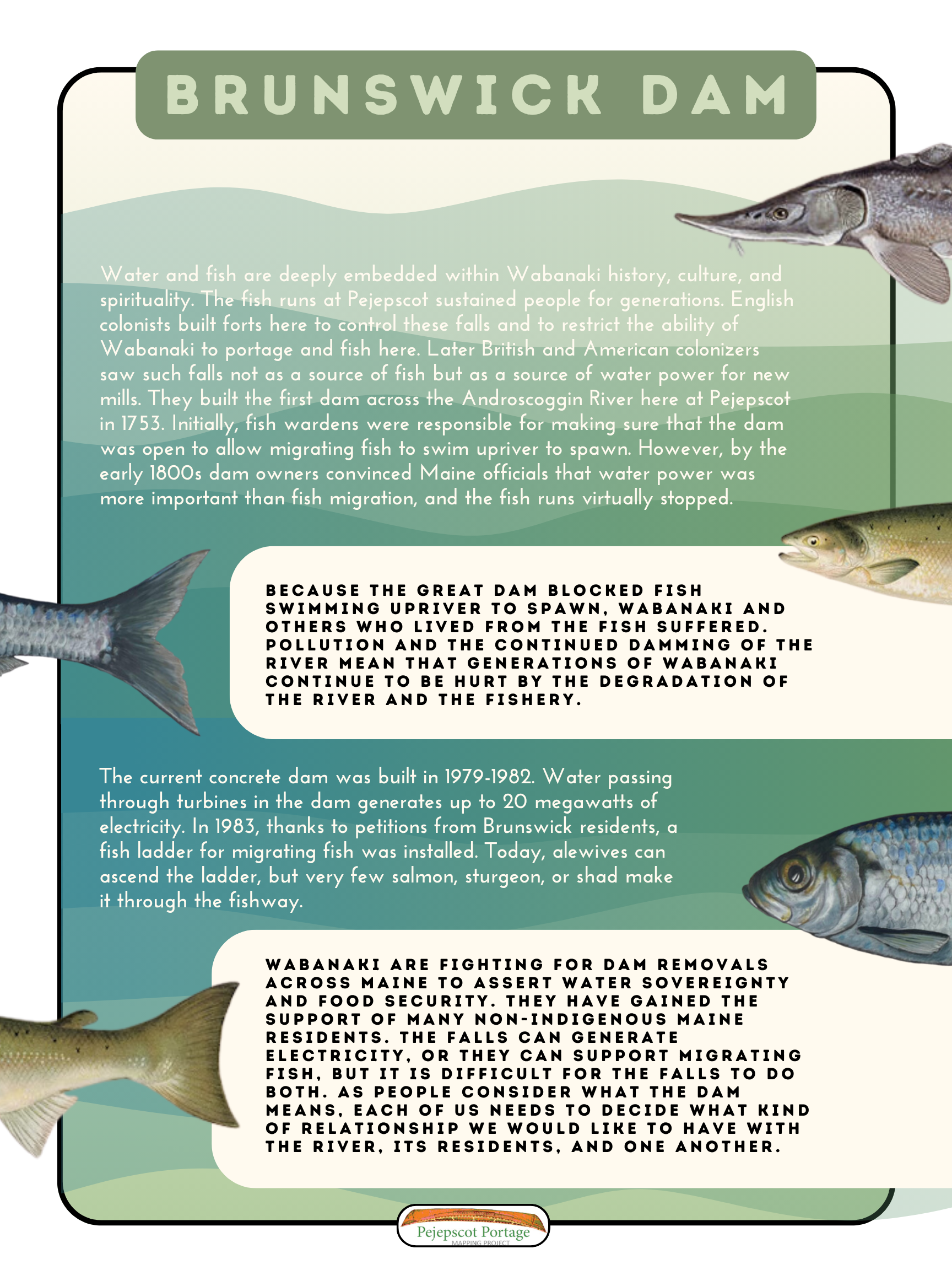
Water and fish are deeply embedded within Wabanaki history, culture, and spirituality. The fish runs at Pejepscot sustained people for generations. English colonists built forts here to control these falls and to restrict the ability of Wabanaki to portage and fish here. Later British and American colonizers saw such falls not as a source of fish but as a source of water power for new mills. They built the first dam across the Androscoggin River here at Pejepscot in 1753. Initially, fish wardens were responsible for making sure that the dam was open to allow migrating fish to swim upriver to spawn. However, by the early 1800s dam owners convinced Maine officials that water power was more important than fish migration, and the fish runs virtually stopped.
Because the great dam blocked fish swimming upriver to spawn, Wabanaki and others who lived from the fish suffered. Pollution and the continued damming of the river mean that generations of Wabanaki continue to be hurt by the degradation of the river and the fishery.
The current concrete dam was built in 1979-1982. Water passing through turbines in the dam generates up to 20 megawatts of electricity. In 1983, thanks to petitions from Brunswick residents, a fish ladder for migrating fish was installed. Today, alewives can ascend the ladder, but very few salmon, sturgeon, or shad make it through the fishway.
Wabanaki are fighting for dam removals across Maine to assert water sovereignty and food security. They have gained the support of many non-Indigenous Maine residents. The falls can generate electricity, or they can support migrating fish, but it is difficult for the falls to do both. As people consider what the dam means, each of us needs to decide what kind of relationship we would like to have with the river, its residents, and one another.
This research was compiled as part of the Pejepscot Portage Walk, which took place in Brunswick on October 6, 2024. For more information about this walk, click here.
For more research related to this area, click on the tags below. To download a hi-res version of the posters below for educational use, please contact where@atlanticblackbox.com.
This walk was a collaboration between the Pejepscot Portage Mapping Project and Atlantic Black Box.