Maquoit Bay
Wharton Point on Maquoit Bay is the southern end of the Upper Carry. This bay connects to Casco Bay, where Wabanaki could hunt marine fish and mammals and harvest shellfish. Casco Bay is also linked to an extensive network of travel routes.
If you visit Wharton Point at low tide, you might see clam diggers out on the clam flats. Plastic canoes and metal airboats now carry clam-digging equipment across the mud, but these boats are an important reminder of the birchbark canoes that Wabanaki used for thousands of years. Nearby piles of shells left by people after shucking their clams are a further reminder that clams have brought generations of people to these shores.
As Passamaquoddy scholar Tony Sutton has observed, “I like to think that clams make people into clammers. But local clamming policies have determined who is able to be in relation to those species.”
Sutton’s comment points out that people shape their relations with clams (and with other life). Today’s local regulations often require clammers to be residents of the communities where they harvest. How might these rules affect Wabanaki, whose homelands extend beyond single towns and who were often forced out of coastal communities?
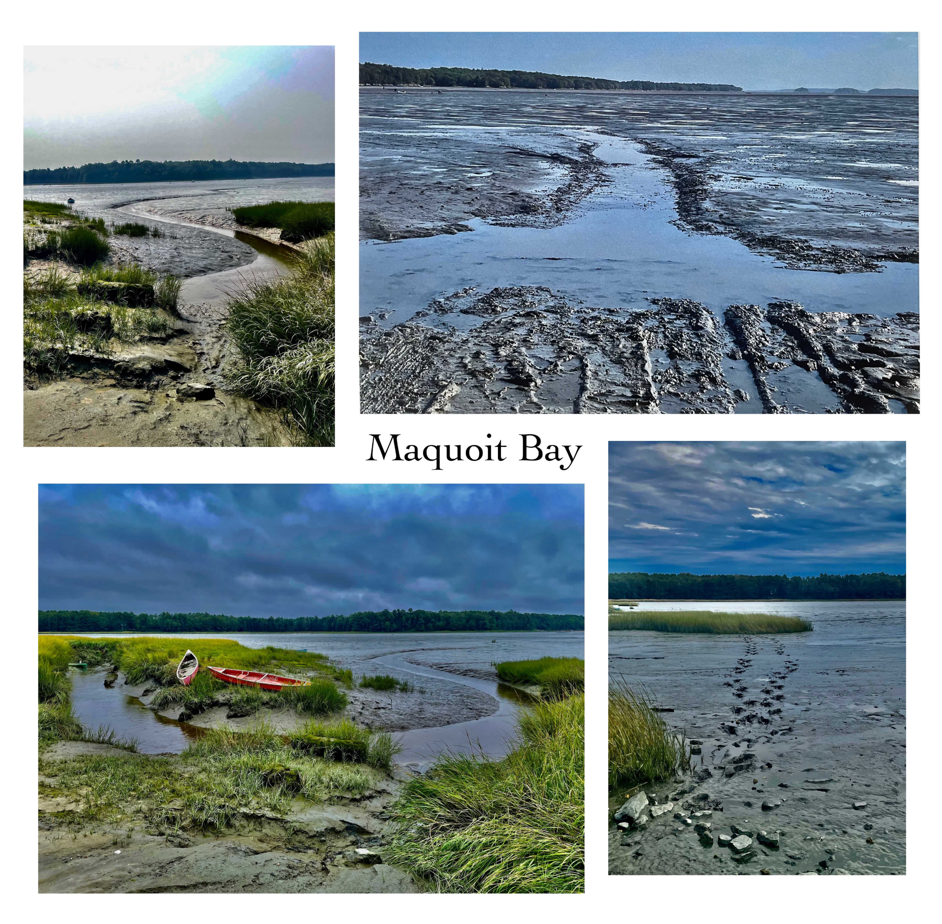
photos by Mia Beale
This research was compiled as part of the Pejepscot Portage Walk, which took place in Brunswick on October 6, 2024. For more information about this walk, click here.
For more research related to this area, click on the tags below. To download a hi-res version of the posters below for educational use, please contact where@atlanticblackbox.com.
This walk was a collaboration between the Pejepscot Portage Mapping Project and Atlantic Black Box.