Pejepscot Portage
Maine Street in Brunswick is Maine’s widest street.
Why make such a wide road in such a small town? When colonists built the road in 1717, they were thinking about commerce. They needed a path wide enough to bring their large herds of pigs and cattle to Maquoit Bay to load onto ocean-going boats. Colonists were also thinking about war. The wide space reduced the chances that Wabanaki could ambush colonists and their livestock. Why would Wabanaki want to stop travelers along this road?
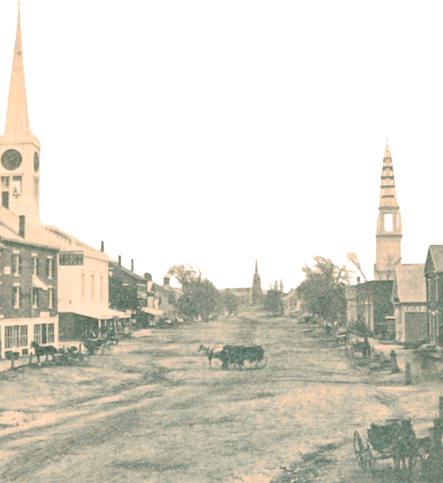
Main Street, Brunswick, 1864
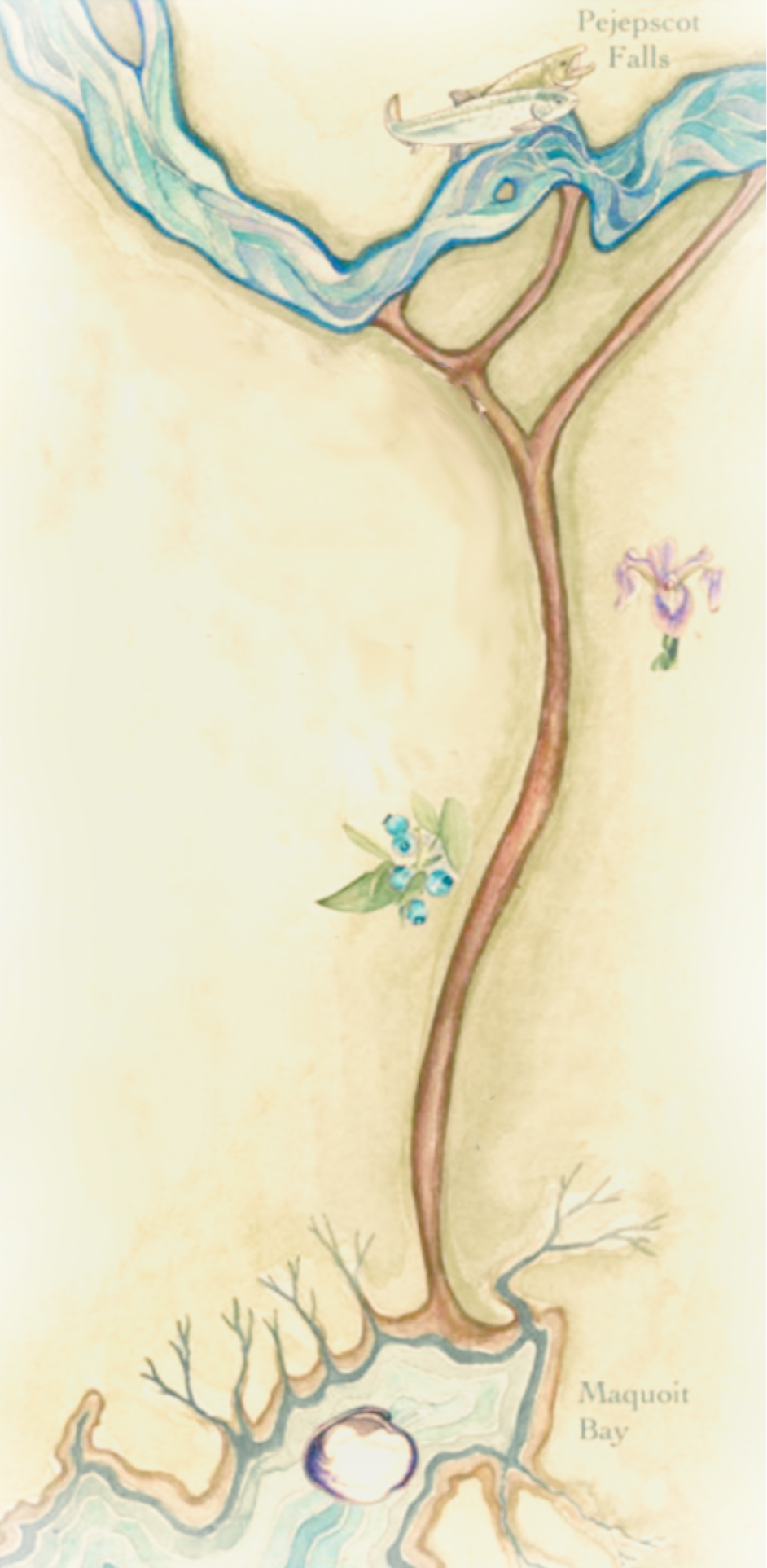
Illustration by Zoe Ciolfi
This travel route is far older than the town of Brunswick.
For thousands of years it has been a portage (carrying place), allowing canoe travelers to take a short-cut between the falls of Pejepscot and the ocean at Maquoit Bay. In the late 1600s English colonists called it the Upper Carry, which distinguished it from the portage known as the Lower Carry (or Stevens’s Carry) between Merrymeeting Bay and the New Meadows River.
When colonists expanded the portage into a road in 1717, they were also challenging Wabanaki access to this ancient travel route. In 1715 colonists built Brunswick and Fort George without Wabanaki permission, and the new colonists depended for their survival on their ability to receive supplies (and sell livestock) at the other end of the road at Maquoit Bay. The wide road made it harder for Wabanaki to defend their portage.
This street of asphalt and concrete, then, overlays a travel route that is thousands of years old and was designed as a result of conflicts that are hundreds of years old. Perhaps, as you watch the one-minute drone video showing Maine St. from above, you can ask yourself: Which of these stories are visible (or invisible) in the landscape?
This research was compiled as part of the Pejepscot Portage Walk, which took place in Brunswick on October 6, 2024. For more information about this walk, click here.
For more research related to this area, click on the tags below. To download a hi-res version of the posters below for educational use, please contact where@atlanticblackbox.com.
This walk was a collaboration between the Pejepscot Portage Mapping Project and Atlantic Black Box.