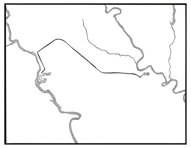
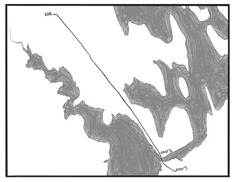
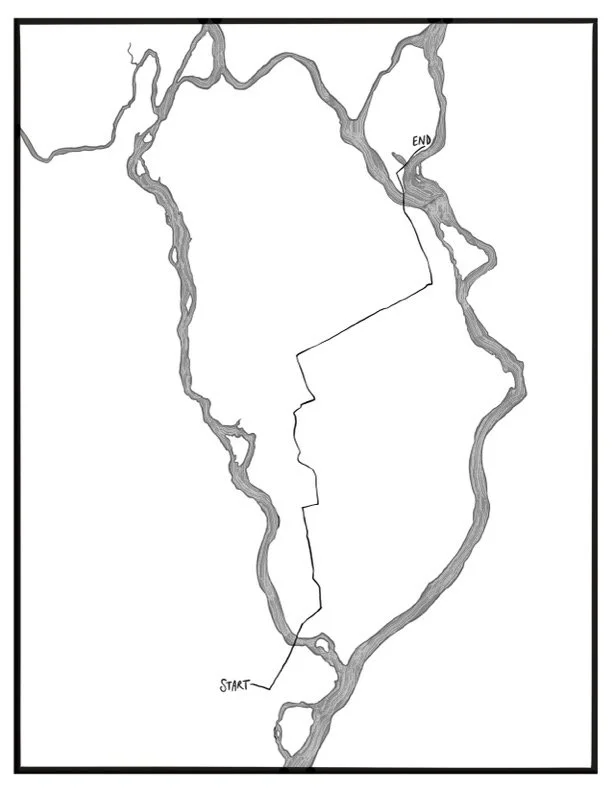
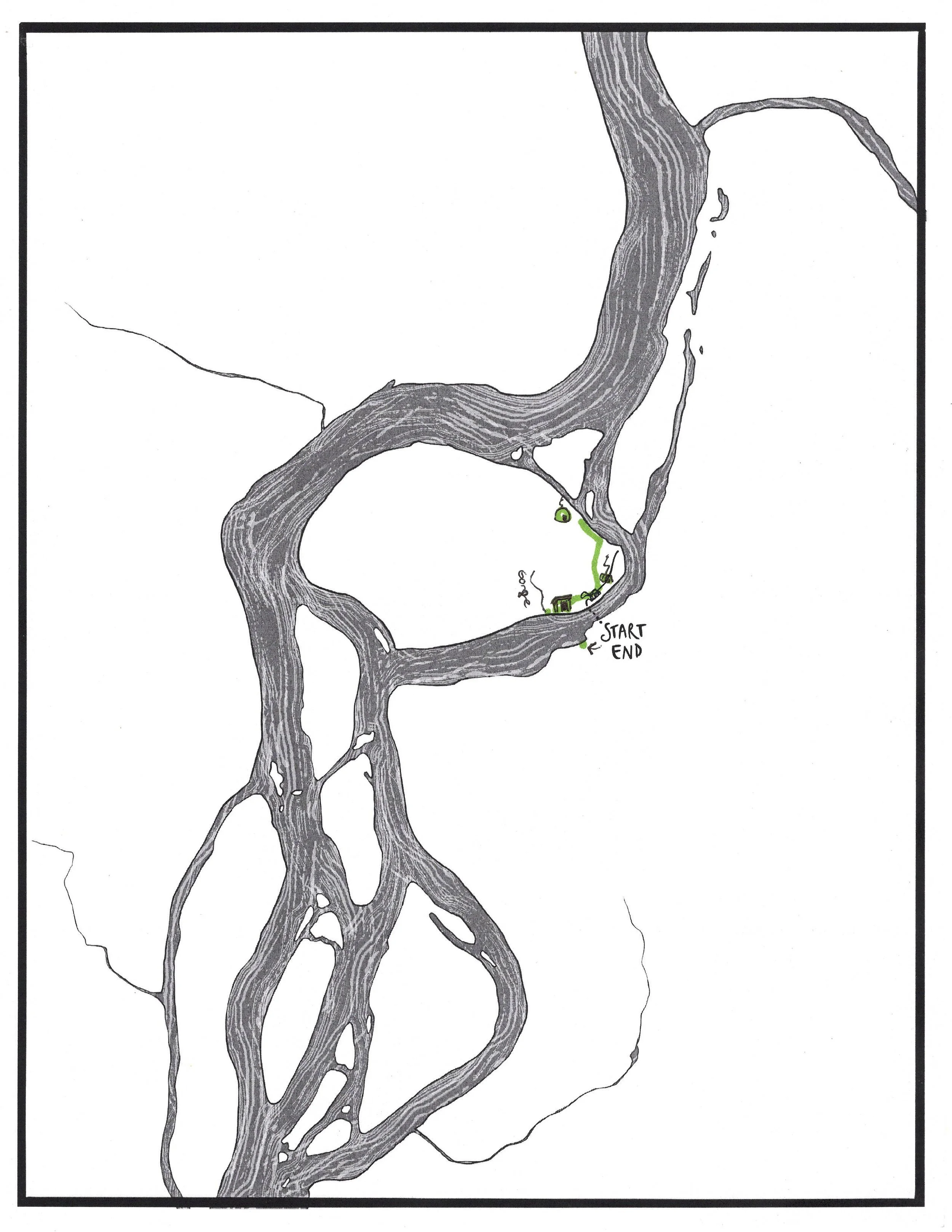
Route Mapping
These maps, created digitally by WHERE’s Creative Coordinator Devon Kelley-Yurdin, provide an alternative perspective of how each walk interacted with the place and the landscape.
The reference used for most of these maps were the Google maps created by WHERE’s organizing team to lay out each walk route and its corresponding logistics. By omitting all colonial markings such as roads and town lines, we have the opportunity to view each walk route solely in relation to the land and waters—an invitation to reorient and deepen our sense of place.
The original inspiration for these maps was sparked by Iyoka Eli-Wihtamakw Kǝtahkinawal/This Is How We Name Our Lands, a map and gazetteer created by the Penobscot Nation’s Cultural and Historical Preservation Department. Viewing the Penobscot River watershed with Penobscot place names in both English and Penobscot, “offer a window into the past and allow us to view the landscape at the heart of our culture.”
Reflection Questions
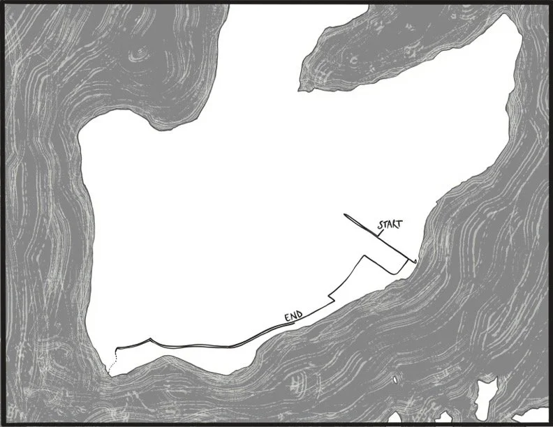
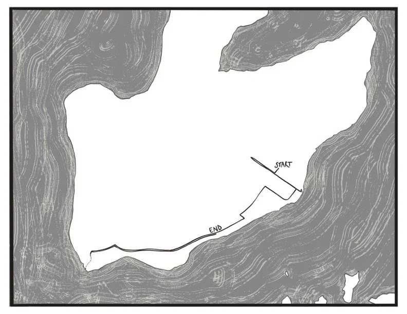
Below you’ll see a map of the route of our walk in Castine, juxtaposed with the Google Map we made for logistical purposes while planning the walk. What do you notice? How does each map inform/influence your sense of place?